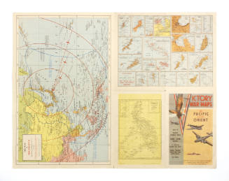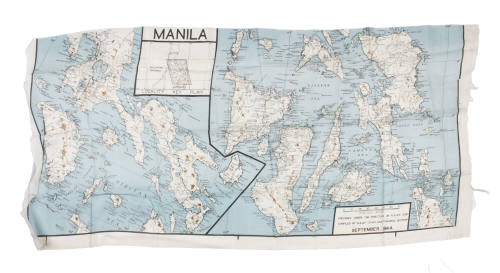

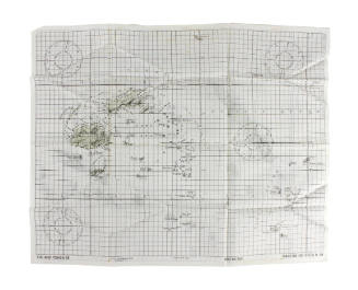
Silk Aviator's Map of Manila, Philippines
Object NameMap
Historic Owner
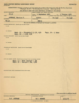
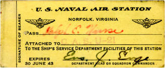
Charles Paul Amerman
Association
USS Intrepid (CV/CVA/CVS-11)
Date1940s
PeriodWorld War II
Mediumsilk, ink
ClassificationsCommunication Artifacts
Credit LineCollection of the Intrepid Museum. Gift of the family of Charles Paul Amerman. 2021.27.31
Object number2021.27.31
DescriptionMap; White horizontal silk survival chart of Manila and other island areas associated with the Philippine Islands. The image is bordered by a black line and split into two sections with a border line in the center. The map includes cartographic features such as land masses, roads and black latitude and longitude lines. The ocean water is colored blue and various mountain ranges and high altitude areas are brown. The names of various islands, bays, oceans, towns and other landmarks are noted throughout in black text. A black and white box at the top of the panel is titled "Manila" and is a "Locality Key Plan" that shows inset island areas featured on the map. A legend box at the bottom right corner of the map has black text that reads: "0 10 20 30 40 50 60 70 // statute miles // prepared under the direction of R.A.A.F. - H/Q.s // compiled by the R.A.A.F. (D.S.D.) cartographic section // September 1944 ".On View
Not on viewCollections
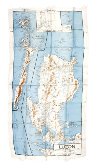
Charles Paul Amerman
1940s
Object number: 2021.27.26