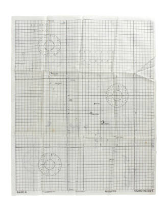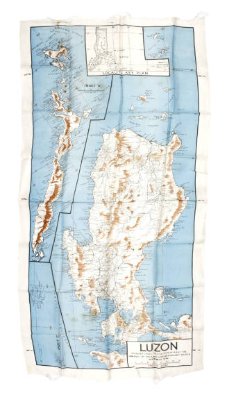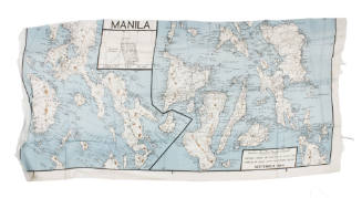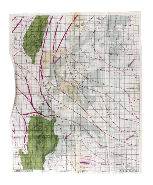
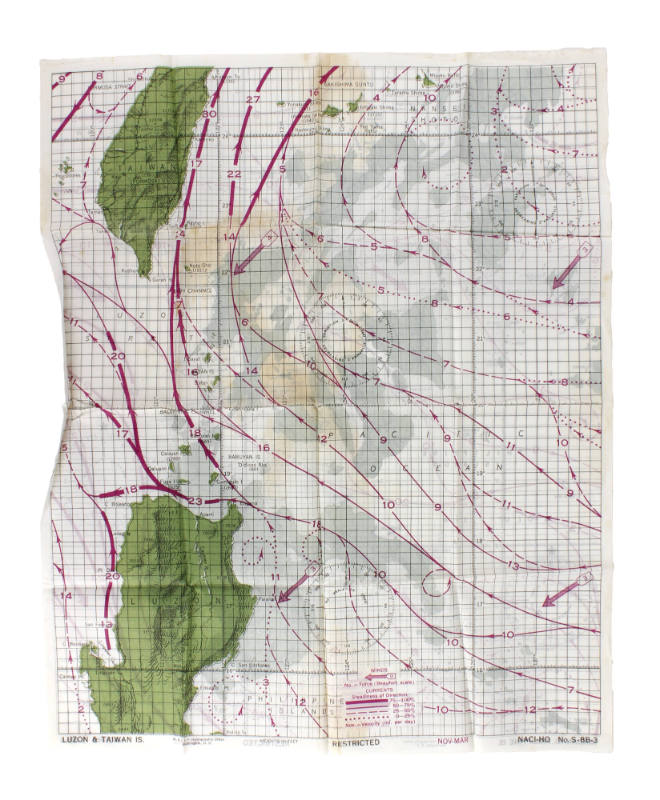
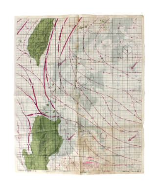
Luzon and Taiwan Islands Survival Chart
Object NameChart, Navigational
Historic Owner
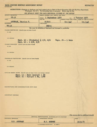
Charles Paul Amerman
Association
USS Intrepid (CV/CVA/CVS-11)
Date1940s
PeriodWorld War II
Mediumsilk, ink
ClassificationsCommunication Artifacts
Credit LineCollection of the Intrepid Museum. Gift of the family of Charles Paul Amerman. 2021.27.27
Object number2021.27.27
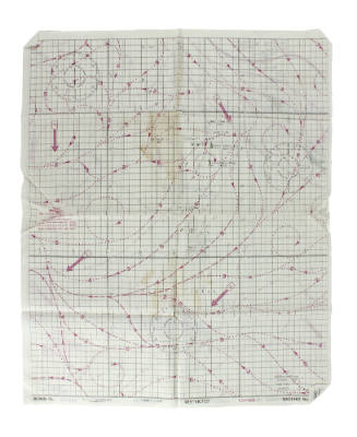
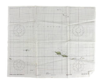
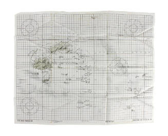
DescriptionChart, Navigational; White silk survival chart of Luzon and Taiwan islands on one side and Mindanao, Philippine islands on the other. The map includes cartographic features such as green land masses, pink wind and current lines, black latitude and longitude lines, and black circular compass-like designs. Various island names, bays, oceans and other landmarks are noted throughout in black text. Printed text at the bottom of either side of the fabric reads "Luzon & Taiwan Is. / Mindanao, Philippine Is. // N.A.C.I - Hydrographic Office // Washington, D.C. // Heights in feet // Restricted // Nov - Mar // NACI-HO No. S-8B-3 / S-8B-4".On View
Not on viewCollections
Charles Paul Amerman
1940s
Object number: 2021.27.26